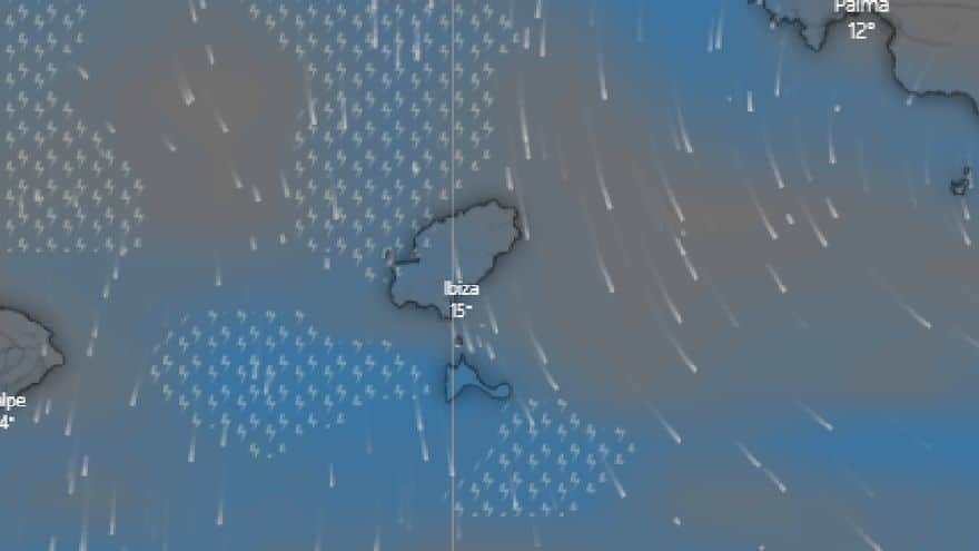
The weekend weather sees the precipitations finally arrive to Ibiza and Formentera, with records between 5 and 10mm until noon. The meteorological situation is determined by the entry of a cold front that has brought the polar jet stream to our latitudes and, once past the reliefs of the Peninsula, has generated a squall south of the Pitiusas. It is also expected that the instability will be reactivated towards Saturday afternoon, with the arrival of another front that will affect the weather from the early hours of Sunday morning.
The forecast for Saturday suggests that there will be a lull in the rain in the morning, but that showers could resume in the afternoon. Attention, because precipitation could intensify early Sunday morning. The wind will be light tramuntana in the morning and moderate easterly in the afternoon. At sea we will have swell with waves up to 1.2 meters. Temperatures without significant changes.
On Sunday we will have precipitation and showers mainly in the morning, in the afternoon there will be clearings and some residual showers, in any case the sky will remain very cloudy. Temperatures will be slightly cooler and the wind will be from the east, the wind chill will be cold. At sea we will have swell with waves of up to 1.2 metres in the southwest of the Pitiusas coasts.
For the full article, please visit Diario de Ibiza website here.

