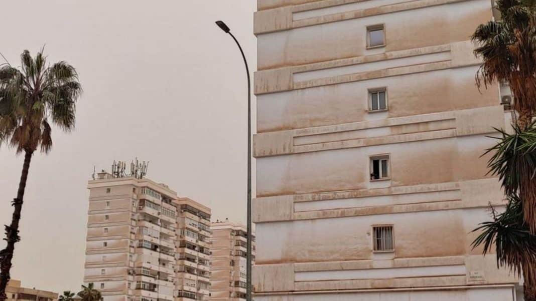
The week starts badly. The Aemet has activated for today in the Balearic Islands (especially in Ibiza) the yellow alert for rains and storms, with 85% probability of showers. But that is not the end of the prediction of the State Meteorological Agency. In its X profile it confirms that today it could rain mud from early in the morning and that we could even see hail.
A few days ago mud was falling from the sky as if there was no tomorrow. In areas like Ibiza, everything was covered with a dense red blanket that soiled cars, terraces, sidewalks, walls of houses…
But if we thought that with the arrival of summer we would no longer have to suffer this meteorological filth, we were all wrong.
The combination of the precipitation associated with this new DANA and the calima, could leave another episode of mud showers in Spain.
The new DANA that passed through Spain
The DANA that has generated a good dose of instability in recent days seems to have its hours numbered and while the cold air in the upper layers of the atmosphere is retreating northwards, the high pressures will dominate the meteorological situation in most of Spain.
With the anticyclone also come more summery temperatures which in some cases will be high, especially in the southern half of Spain.
Despite the high pressure, the start of the week still comes with instability in areas of the eastern peninsular and Balearic Islands. For this reason on Monday we will still have to take out the umbrella in the eastern Cantabrian Seathe Pyrenees as well as in many areas of Catalonia, Aragon the Valencian Community and the Balearic Islands where storms may be locally very strong.
For the rspain is expected to open up the skies with a sunny atmosphere in many areas, especially in the south, as well as in the Canary Islands. The final stretch of the week could be marked by the passage of a cold front that over the weekend will leave some precipitation in the northfrom Galicia, through the Cantabrian communities to the Pyrenees.

