
The State Meteorological Agency (Aemet) warns that a mass of cold air of Arctic origin will reach Ibiza and Formentera, bringing a drop in temperatures from this Wednesday.
The agency has issued a special warning for snowfall below 600 metres in the northern third of the peninsula, from Thursday until late Friday. At the same time, maximum temperatures are expected to remain below 10 degrees in large areas of the country.
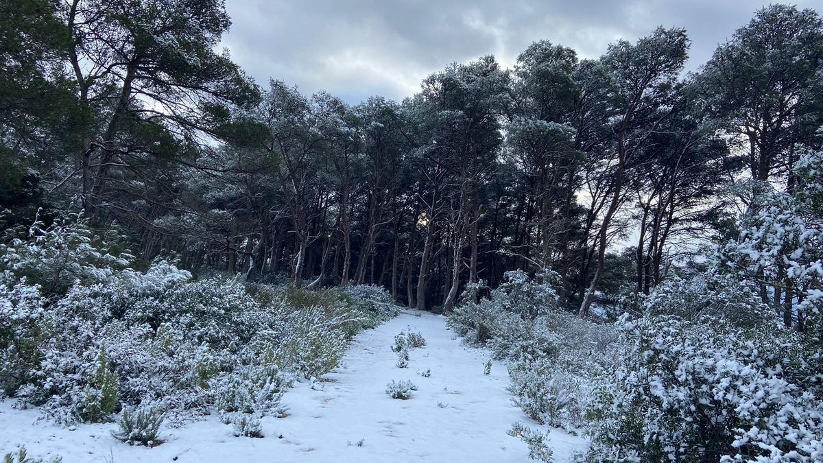
In Ibiza, the snow level will be around 1,400 metres and will gradually drop over the week to 600 metres on Friday, which is forecast to be the coldest day, according to Aemet.
From Saturday afternoon, the most likely scenario is the arrival of warmer Atlantic air, leading to a rise in temperatures.
Weather in Ibiza according to Aemet
Wednesday will start with cloudy intervals and a 30% chance of rain in the early hours, rising to 55% during the morning. Precipitation will ease in the afternoon and evening. Temperatures will range from 10 to 17 degrees, with light northwesterly and northerly winds.
Thursday marks the beginning of the wettest spell of the week. Although the chance of rain will be low (10%) in the morning, it will rise to 75% from midday. Temperatures will range between 9 and 15 degrees, with northerly winds of 15 to 20 kilometres per hour.
On Friday there will be a 100% chance of rain in the morning and 90% in the afternoon, with possible thunderstorms. Temperatures will drop to a minimum of 4 degrees, with highs of 14 degrees, accompanied by northerly gusts of up to 30 kilometres per hour, which will increase the feeling of winter cold.
On Saturday, weather instability will lessen, although there will still be a 50% chance of rain in the morning, dropping to 25% for the rest of the day. Temperatures will range from 7 to 15 degrees, with moderate north and northwest winds.
Sunday will bring calmer weather and partly clear skies. The probability of rain will be low (25%), and temperatures will rise slightly, ranging between 9 and 19 degrees.