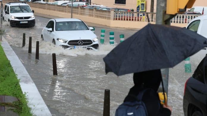
The DANA that is passing through Ibiza and has put the Pitiusas Islands on orange alert for heavy rains, has not left excessive rainfall so far, but experts report that we must not lower our guard, because the worst is yet to come.
“In the next hours the conditions will be ideal for the Balearic Sea to be a hotbed of strong storms. This area will be under the sector of divergence in height of the DANA and there will be convergence at the surface, so the clouds will grow with energy. Also, the sea is abnormally warm for the season around the Balearic Islandswith values that are about 3.5 ºC above the average for the season: this is first class gasoline”, according to Meteored.
In spite of the fact that until midday the precipitations, although locally heavy and for a short period of time, have been seen throughout the island sporadically, according to the website Windguru -which is usually quite accurate in its forecasts-, from 3 pm we will again experience a strong episode of rain, which will intensify around 9 pm. Although it should be noted that the forecast is constantly changing.
As Tuesday progresses, storms will appear in the Balearic Sea, leaving locally very heavy downpours in Mallorca and the Pitiusas Islandswhich may touch points of the Valencian Community and Catalonia. Attention between Tuesday night and Wednesday morning, as some scenarios do not rule out the formation of more organized convective structures.
These situations are tremendously complex, but at the moment most of the high resolution models are showing accumulations of more than 200-250 l/m² at sea, very close to the islands. Let’s hope the bulk stays therebecause these cells can cause quite a few problems if they come ashore, so we will have to follow their evolution.
For the full article, please visit Diario de Ibiza website here.

